3.8
1,046 avis
★★★★☆
5 mai 2026
14 juin 2017
Nouveautés
v2.9.79New graphics engine for 3D maps.
Infos sur l'app
- Développeur
- Routes Software SRL
- Catégorie
- Travel & Local
- Prix
- GRATUIT
- Version
- 2.9.79
- Installations
- 100,000+
- ID du package
- tips.routes.peakvisor
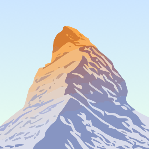
Description
PeakVisor will make you a champion of mountain navigation, putting state-of-the-art Peak Identification, 3D Maps, Trails, and outdoor GPS tracking into the palm of your hand. Our app is a one-stop shop for all your mountain adventures: hiking, skiing, climbing, mountain biking, and more. But PeakVisor is more than just another outdoors app; it’s an immersion into a carefully crafted 3D world that will give you an unprecedented understanding of the nuances of a mountain’s terrain. Here’s a brief orientation on the tools we offer to get oriented in the mountains: ● 3D Maps As human athletic achievement progresses in the mountains, so does the technology to assist your adventures. With PeakVisor, you unlock the topo maps of the future; our cutting-edge technology with high-precision terrain modeling offers deep insight into the mountain landscape of your choice. With one glance, you be blessed with years of knowledge about an area’s terrain. ● Identify Peaks Identify more than a million mountains, hills, buttes, spires, and more from all over the world, with a detailed profile for each of them! Our app shows you altitude, topographic prominence, mountain range, national parks or reserves, as well as photos and additional Wikipedia articles. ● Plan Hiking Routes A vast network of worldwide hiking trails and walking pathways included in PeakVisor’s 3D Maps will help you compose a hiking route which includes evaluating the distance you can expect to hike as well as a route’s elevation profile and estimated time for completion. ● Skiing In winter mountain sports, PeakVisor’s topographic 3D Maps allow a visual understanding of the terrain and provide detailed information about mountain lifts, ski resort trails, and backcountry ski touring routes. The app also offers features such as winter mode and a slope steepness overlay to identify avalanche terrain on your route. ● Cable Cars and Mountain Huts are inlaid onto our 3D Maps, complete with schedules. This is especially useful in Europe, where many objectives involve a cable car ride to gain some altitude, lest you want to do some genuinely punishing climbs. And you haven’t experienced the old-world mountain culture until you’ve had a memorable meal and night at a rustic mountain hut in the high country. ● Peak Bagging The app offers monthly climbing challenges and Peak Bagging competitions to keep the motivation where it needs to be…UP. ● GPS Tracking Track any outdoor adventures, whether hiking, skiing, mountain biking, etc. Post-adventure, you can visualize your route in the miniature 3D world, check out stats like distance and elevation gain, and export a GPX file of your new route. ● All Features Work Offline PeakVisor is the Swiss army knife for outdoor adventure, one that you will soon find indispensable while in the mountains. With so many features at your fingertips, you’ll find value from the app whenever you're on the trail.
Estimation des téléchargements
Total estimé des téléchargements
480
Bas / mois
711
Estimé / mois
1K
Haut / mois
Estimé via nombre d'avis ÷ taux d'avis du genre. Écart possible de ±50%.
Analyse de la concurrence
Même genre · Top chartsMoy. concurrents
4.2
Vous : 3.8
Moy. concurrents
34d
Vous : 11d
Moy. concurrents
4.4M
Vous : 77K
PeakVisor - 3D Maps & Peaks ID
VOUS3.8
77K
DL est.
KIRI Engine: 3D Scanner App
4.1
482K
DL est.
KAYA: THE CLIMBER’S APP
4.0
46K
DL est.
Mapy.com: Offline Outdoor Maps
4.0
18.6M
DL est.
AlpineQuest Explorer Lite
4.5
1.5M
DL est.
Weenect - GPS
4.5
1.5M
DL est.
Chiffres de téléchargement estimés · Mis à jour toutes les 6h